


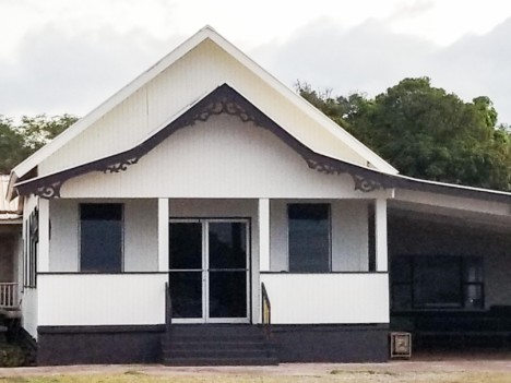
Guzeiji Soto Mission Announces Changes to 2026 Obon Observance
Guzeiji Soto Mission News Release
Guzeiji Soto Mission of Molokaʻi has announced that its annual Obon observance will take on a quieter and more reflective format this year.
While the temple remains deeply committed to honoring departed loved ones through its
traditional Obon and Hatsubon memorial services, the temple will not be hosting its Bon Odori (dance) celebration or its chicken hekka plate fundraiser this summer.
The temple welcomes all who wish to participate in the Obon memorial services on July 25,
A service will be held at 10:30 a.m. at Kapa’akea Cemetery Service at Sangai Banrei monument, which serves as a memorial not only for our own ancestors and loved ones, but also for all departed souls-known and unknown, remembered and forgotten.…